• New Horizons on Maelstrom
    Maelstrom New Horizons


    Visit our website www.piratehorizons.com to quickly find download links for the newest versions of our New Horizons mods Beyond New Horizons and Maelstrom New Horizons!

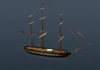
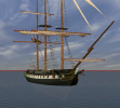
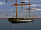
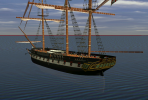
New Models!

I think AOS2 like a lot of games internally uses a left-hand coordinate system, so coordinates are X,Y,Z with X with the + direction going athwartship to starboard, Y + vertical going up and Z + longitudinal going forward. Positive direction of rotation about the axes is determined using left hand rule.

Moving on-

Based on looking at the terrain for the islands in AOS2 I think the 3 arcsec (90m) SRTM dem data should be more than sufficient for my needs in generating real world terrain for the game. That's good because there is world wide coverage at this resolution freely available on-line. Hopefully the test case will work out.
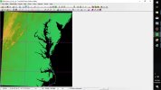
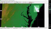
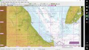
Chesapeak and Delaware Bays SRTM 3arcsec.jpg Chesapeak and Delware Bays SRTM 3arcsec re samp at 70m.jpg Delware Bay SRTM 70m resample NOAA 12304.jpg Grey Mist ready for AOS2.jpg

1st 3 pics are of the merged DEM I put together and resampled at 70m. Originals are lat/long and the resampled is on UTM grid. Makes it a bit easier to get into AOS2 game map that is not geo-referenced and uses an equidistant grid of "AOS2 map units" (more on that in a later post maybe). The merged dem is pretty big going from Long Beach Is, NJ near top right down to Cape Hatteras, NC near bottom right. Only small pieces will be used for the terrain models. I doubt AOS2 is capable of handling extensive terrain maps. Largest extent of terrain I found in any of the maps could fit in 225 x225 square (game map units) and that was spread out over a number of islands.

2nd & 3rd pics show NOAA's PDF version of chart 12304 of Delaware Bay that I geo-referenced and loaded with the dem data. More than enough shoals to digitize there. Probably would ignore most of them if I brought it into the game. Bottom right quarter of this chart would exceed the map area I referred to above.

I already have dem data from Newfoundland in Canada down to the Amazon in Brazil plus the Caribbean and US /Mex gulf coasts. But for time being I'll stick with US since all NOAA's charts of US waters are available for reference.

I always wanted to see Delaware Bay area in the game. Philadelphia was a major sea port of the colonies back in 1700's even at 80 miles from the sea. So there was lots of commerce going up and down the bay but not much naval action that I'm aware.

The entrance to Chesapeake Bay is another area of interest since AOS2 has scenarios that play out near the Virginia Capes. However for the test case I'm probably going to use either a piece of Cape May or Cape Henlopen on north and south sides of entrance to Delaware bay. If that works I'll add the other cape and see how big a piece I can add.

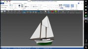
Last pic is a model of a small schooner I motored thru the Cape May canal and up the Bay a few years ago. I never ever though I get a chance to sail it up the bay in AOS2 but I just might - you never know.
 
Last edited:
I think AOS2 like a lot of games internally uses a left-hand coordinate system, so coordinates are X,Y,Z with X with the + direction going athwartship to starboard, Y + vertical going up and Z + longitudinal going forward. Positive direction of rotation about the axes is determined using left hand rule.

I am not sure.
When I convert the model, it is positioned with Y+ longitudinal going forward, Z+ vertical up and X+ to starboard, both in Blender and Maya. The map and models scale is 1 unit = 100 m.

How it is handled inside, I have no idea, but obviously I reference the config coordinates accordingly, as X, Z, Y.

Edit: You were right. The coordinates switch to the system you described on OBJ export from Blender. Never really noticed that before o_O

Largest extent of terrain I found in any of the maps could fit in 225 x225 square (game map units) and that was spread out over a number of islands.

I ran a test map of Portsmouth area on 500 x 500 (50 x 50 km) with no problems. Messed with height values, most probably, but the game did not have any objections to the size of the map or the model here. Actually, I think 500 x 500 map is quite ideal size for a coastal map.


The main technical problem I have at the moment is streamlining the process of topographical data extraction and conversion to map. (In any case, I would like to have the whole globe available for staging... Anything :) )
1. The terrain has to be cut by water level to two parts, with
2. Automatic retrieval of texture - we want the land to look like land

I recently tried to reiterate the process:

map_test.png
(again, I am afraid, messing with heights, but to the other side this time), but still it's not perfect.
Initially it's a square divided to 200 by 200 cuts (80k triangles), having then geotiff applied, and then passed through "decimate" operator resulting in around 8k triangle mesh.

Last pic is a model of a small schooner I motored thru the Cape May canal and up the Bay a few years ago. I never ever though I get a chance to sail it up the bay in AOS2 but I just might - you never know.

The ship is about the size of a cutter? I think the easiest way will be to import the hull and use two-mast cutter's rig (I never tried to make new sails, so I am not sure they would work, but there is enough rigs in the game, and those can always be rescaled, although that is a little awkward - to rescale full ship rig you have to process 160 files manually), and there is nothing impossible about it :) You can export the model to .obj and send her to me.
 
Last edited:
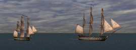
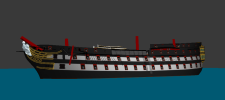
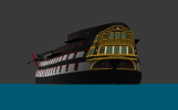
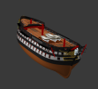
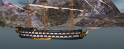
Outfitting the HMS Cambridge (1815).

cambridge_2.png cambridge_3.png
cambridge_1.png

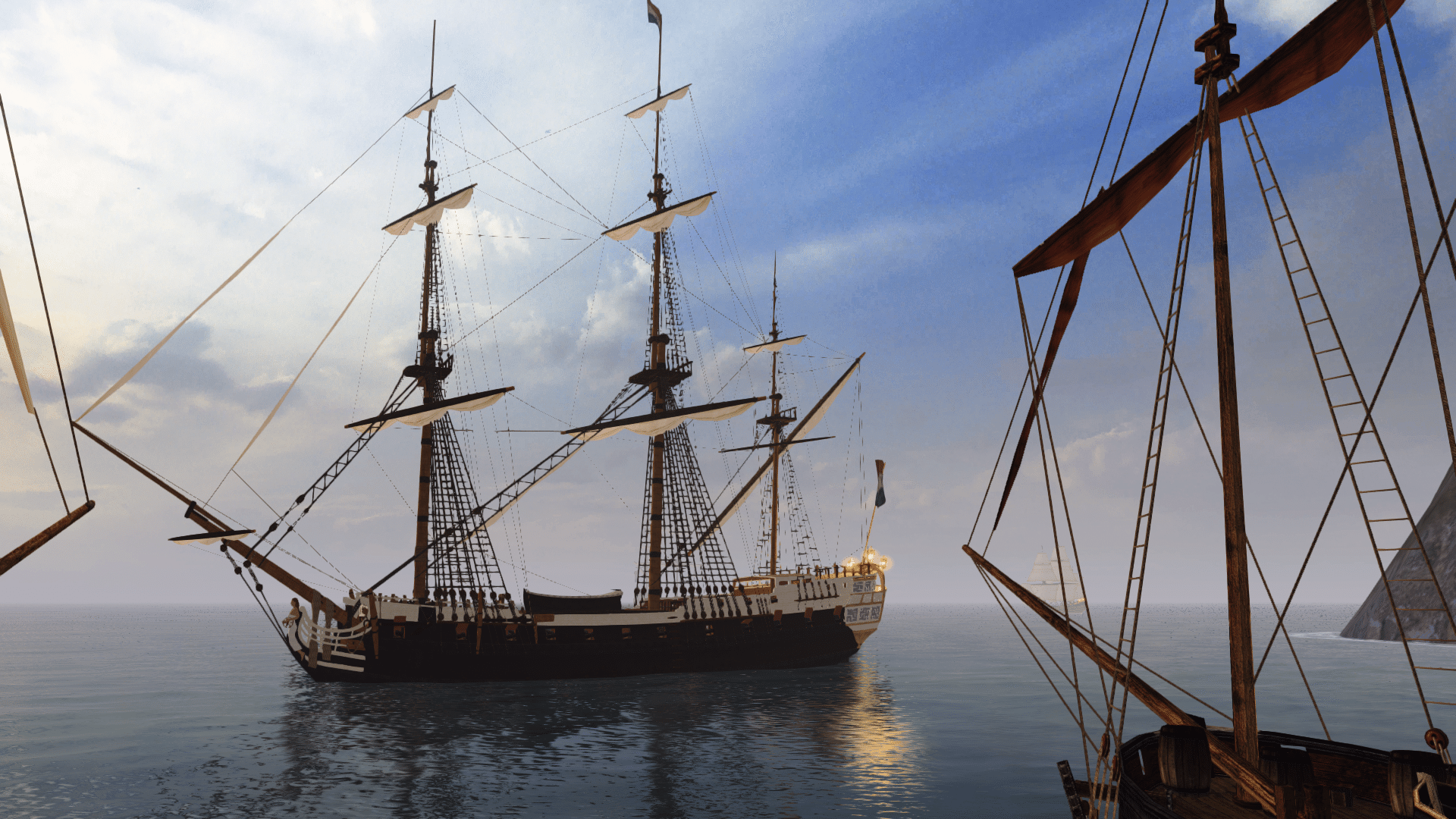
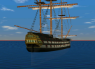
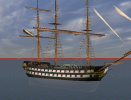
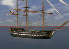
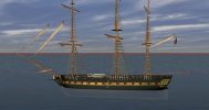
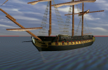
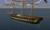
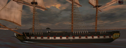
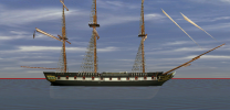
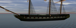
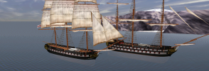
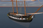
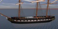
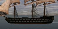
An 80-gun ship that was very closely based on the Christian VII it's usually considered a copy, but there was a substantial number of changes that required to remake the model almost from scratch - circular bow, raised head, an attempt to make more traditional, but narrowed stern (which ended up probably even more awkward than the original ), and straightened sheer of the decks. In addition to false keel, the ship was designed for slightly deeper drought, and that required corrections to entry fore and aft, and a little raised tumblehome curve.

The result is characteristic Victorian ship, representative of the Royal Navy up to the age of ironclads.
 
Launched the Cambridge:

shot0003_2.png shot0002_2.png
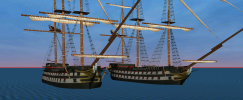
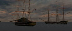
And alongside the Christian VII for comparison:

shot0000_2.png shot0001_2.png
 
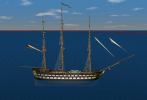
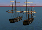
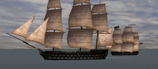
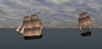
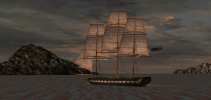
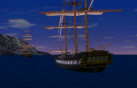
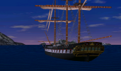
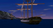
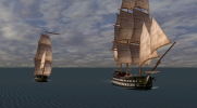
Testing the Cambridge under way with escorting frigate:

shot0000_3.png shot0001_3.png shot0003_3.png shot0004_2.png shot0006_1.png
 
A little fix for Christian VII texture (upper-deck stripe now covers the full length of the forecastle):

shot0001_6.png

And original, older Danish paint scheme:

shot0000_6.png
The way these stripes can change the appearance of a ship is crazy.
 
I had a strange thought here.

The game itself can - in an awkward way - be used as tabletop, in addition, or even replacing it's main function.
Especially in cases of setting up encounters that have more interactions than the engine supports or involving something specific that the player may want to perform.

How? The answer is the scenario editor, that is built on the same engine, but the difference here the ships do not move or fire.
You can manually set the weather, time of day and the ship's state from turn to turn, move the ships using the mouse, generate and remove units on the fly.
So it is possible either to use it to bring the encounter to firing range and then save the scenario and continue it in real-time, or use some rules to resolve the firing.

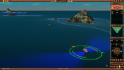
Here is a very rough example of how it may look like:

shot0000_10.png
Turn 1. Frigate close hauled, under all sail, wind from SWW, sea state 2. Enemy indiaman also close hauled on opposite tack.

On the left-bottom there are two numbers which are coordinates of the current unit in meters from the map center. It is possible, thus, to make a calculator that will tell the position to place the unit for the next turn. I didn't do any such calculations, of course, but it's just a demonstration.
Plus - you see the navigational hazards :)

shot0002_6.png
Turn 2. Indiaman moves, and the frigate is ordered to tack, and thus hardly changes it's position.

shot0003_5.png
Turn 3: Both move in the same direction.

And so on. Almost a whole new game.
 
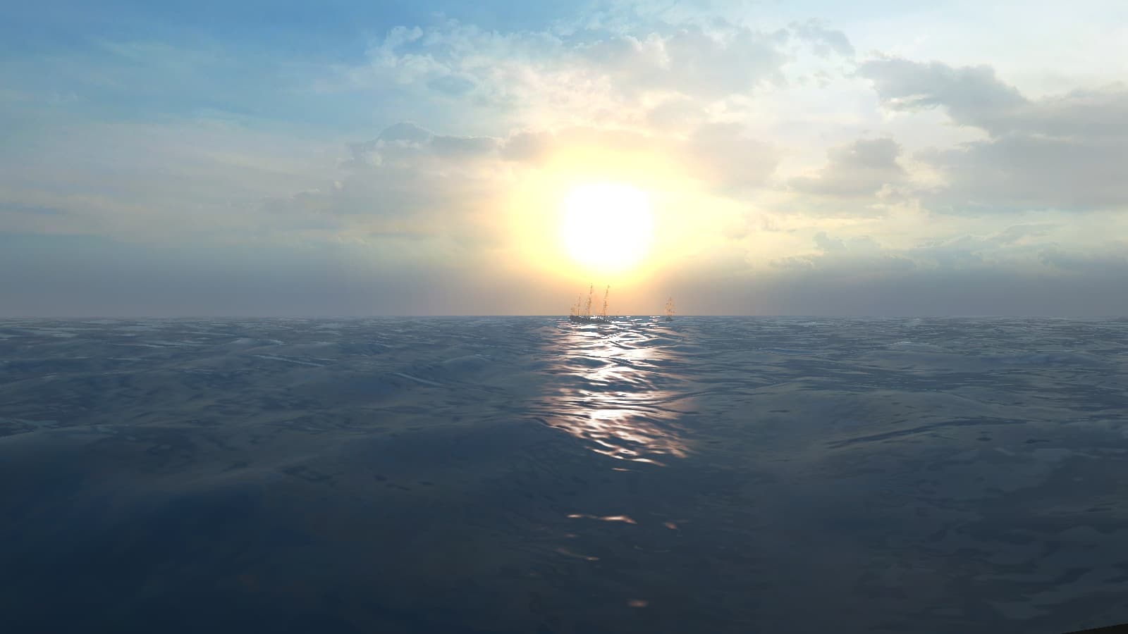
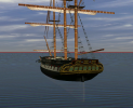
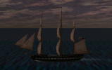
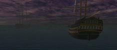
Have been experimenting with the lighting lately.
The game contains 3 sources of light - the sun, the moon and something like scene ambient light, configurable in an INI file, separated by times of day more or less. All three are present in all scene setups and times, but the sun and the moon move around the sea surface. And since the shadow generating system doesn't work anyway, I made the whole thing more equalized, both by color and intensity and less directional. The general brightness is controlled by gamma in settings.

shot0000_11.png
That's noon here, and because it's almost calm you can admire the underwater parts of the ships.
I think I like it more that way than it was before.

Also, I did make a ton of testing and corrections - a pixel here, a vertex there, smoothing the hulls and adjusting gunports, but it's very difficult to show on screenshots, so you would have to take my word on it :)
 

Attachments

  • usr_light - orig.ini
    1 KB · Views: 234
  • usr_light.ini
    1 KB · Views: 227
Last edited:
Hey Martes, I notice there is also a "def_light.ini" file. In my PB setup it has the same data except after the Light_tune block it has LAST_KEY:3 instead of LAST_KEY:9.

Any idea what it's for? Did you make any changes to it?
 
No, I didn't make any changes to this value, but since usr_light.ini overrides the def_light.ini maybe it marks priority. But then, maybe not. I changed only color/intensity values.
 
The same with the fog, that was almost invisible before.

shot0000_12.png
There is a small bug, though, I can't do anything about - the running figures on deck seem to be rendered after the fog, and thus are more visible than the ship itself.
 

Attachments

  • fog - orig.ini
    1.9 KB · Views: 276
  • fog.ini
    1.8 KB · Views: 255
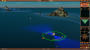
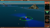
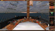
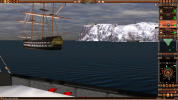
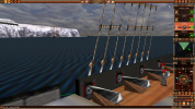
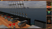
Almost by accident I found a (more or less) reliable way to produce deck-camera view.
Mind, it is a little awkward and there is no way to automate it, but at least it works consistently.
So here is the process, anyway:

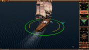
Select a ship on a map and press L to lock the camera to the ship. You will get something like this.

shot0000_1.png
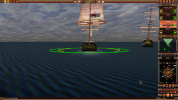
Press and hold Alt, and use the mouse to orient a camera directly at the stern, more or less aligning the spritsail yard with the sea level (use PgDown to lower the camera level if needed):

shot0001_1.png
Release Alt and press Ctrl-B:

shot0002_1.png

If everything is done correctly, the camera will be positioned somewhere atop of the boats. If the camera level is too high, the viewpoint will be higher, between the main and the foremast, since by design this is a lookout view. If this happens, press L to release the camera lock, zoom out, and repeat the process from the beginning.

When positioned in this view, the interface changes a little. You can't interact with other ships by clicking them (your own ship obscures the click zone), but you can use the interface controls to steer your ship, give sail commands, order reloading guns with different shot and control if the ship fires automatically or not and aims high or low (but no manual targeting). Selecting another ship from the list will move camera out to it without lock. And you can't turn the camera up, but using Alt+mouse it can be rotated to look around.

shot0003_1.png shot0004_1.png shot0005_1.png

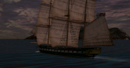
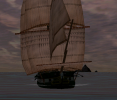
It (possibly) works even with all sails set up, but then the view is largely obscured by the fore and main sails, of course.
 
Some semi-random screenshots:

shot0000_38_.png shot0001_27_.png shot0000_39_.png shot0000_37_.png shot0000_34_.png
shot0000_40_.png shot0001_28_.png shot0002_20_.png shot0003_15_.png shot0004_12_.png
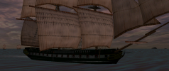
Featuring Pique, Egyptienne, Christian VII, Liffey and Forte
And a sort of preview - although I am not sure when I am going to finish her:

spartan.png
HMS Spartan (1841)
Basically she's an oversized corvette - only slightly smaller than the Belle Poule (but wider), and armed with medium 32-pounders.
 
Last edited:
Back
Top