RPearson
Landlubber
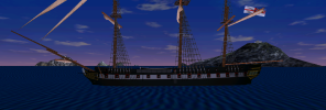
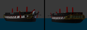
I think AOS2 like a lot of games internally uses a left-hand coordinate system, so coordinates are X,Y,Z with X with the + direction going athwartship to starboard, Y + vertical going up and Z + longitudinal going forward. Positive direction of rotation about the axes is determined using left hand rule.
Moving on-
Based on looking at the terrain for the islands in AOS2 I think the 3 arcsec (90m) SRTM dem data should be more than sufficient for my needs in generating real world terrain for the game. That's good because there is world wide coverage at this resolution freely available on-line. Hopefully the test case will work out.
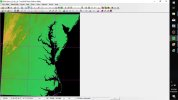
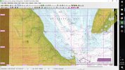
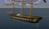
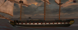
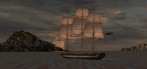
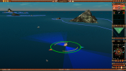
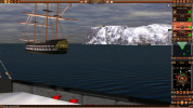
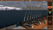
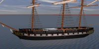
1st 3 pics are of the merged DEM I put together and resampled at 70m. Originals are lat/long and the resampled is on UTM grid. Makes it a bit easier to get into AOS2 game map that is not geo-referenced and uses an equidistant grid of "AOS2 map units" (more on that in a later post maybe). The merged dem is pretty big going from Long Beach Is, NJ near top right down to Cape Hatteras, NC near bottom right. Only small pieces will be used for the terrain models. I doubt AOS2 is capable of handling extensive terrain maps. Largest extent of terrain I found in any of the maps could fit in 225 x225 square (game map units) and that was spread out over a number of islands.
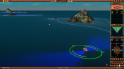
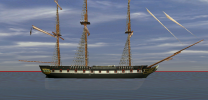
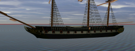
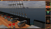
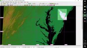
2nd & 3rd pics show NOAA's PDF version of chart 12304 of Delaware Bay that I geo-referenced and loaded with the dem data. More than enough shoals to digitize there. Probably would ignore most of them if I brought it into the game. Bottom right quarter of this chart would exceed the map area I referred to above.
I already have dem data from Newfoundland in Canada down to the Amazon in Brazil plus the Caribbean and US /Mex gulf coasts. But for time being I'll stick with US since all NOAA's charts of US waters are available for reference.
I always wanted to see Delaware Bay area in the game. Philadelphia was a major sea port of the colonies back in 1700's even at 80 miles from the sea. So there was lots of commerce going up and down the bay but not much naval action that I'm aware.
The entrance to Chesapeake Bay is another area of interest since AOS2 has scenarios that play out near the Virginia Capes. However for the test case I'm probably going to use either a piece of Cape May or Cape Henlopen on north and south sides of entrance to Delaware bay. If that works I'll add the other cape and see how big a piece I can add.
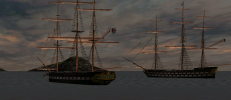
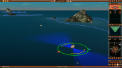
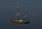
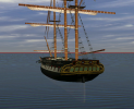
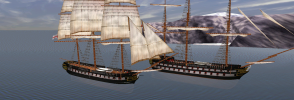
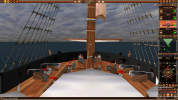
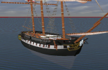
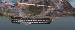
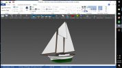
Last pic is a model of a small schooner I motored thru the Cape May canal and up the Bay a few years ago. I never ever though I get a chance to sail it up the bay in AOS2 but I just might - you never know.
Moving on-
Based on looking at the terrain for the islands in AOS2 I think the 3 arcsec (90m) SRTM dem data should be more than sufficient for my needs in generating real world terrain for the game. That's good because there is world wide coverage at this resolution freely available on-line. Hopefully the test case will work out.


1st 3 pics are of the merged DEM I put together and resampled at 70m. Originals are lat/long and the resampled is on UTM grid. Makes it a bit easier to get into AOS2 game map that is not geo-referenced and uses an equidistant grid of "AOS2 map units" (more on that in a later post maybe). The merged dem is pretty big going from Long Beach Is, NJ near top right down to Cape Hatteras, NC near bottom right. Only small pieces will be used for the terrain models. I doubt AOS2 is capable of handling extensive terrain maps. Largest extent of terrain I found in any of the maps could fit in 225 x225 square (game map units) and that was spread out over a number of islands.
2nd & 3rd pics show NOAA's PDF version of chart 12304 of Delaware Bay that I geo-referenced and loaded with the dem data. More than enough shoals to digitize there. Probably would ignore most of them if I brought it into the game. Bottom right quarter of this chart would exceed the map area I referred to above.
I already have dem data from Newfoundland in Canada down to the Amazon in Brazil plus the Caribbean and US /Mex gulf coasts. But for time being I'll stick with US since all NOAA's charts of US waters are available for reference.
I always wanted to see Delaware Bay area in the game. Philadelphia was a major sea port of the colonies back in 1700's even at 80 miles from the sea. So there was lots of commerce going up and down the bay but not much naval action that I'm aware.
The entrance to Chesapeake Bay is another area of interest since AOS2 has scenarios that play out near the Virginia Capes. However for the test case I'm probably going to use either a piece of Cape May or Cape Henlopen on north and south sides of entrance to Delaware bay. If that works I'll add the other cape and see how big a piece I can add.
Last pic is a model of a small schooner I motored thru the Cape May canal and up the Bay a few years ago. I never ever though I get a chance to sail it up the bay in AOS2 but I just might - you never know.
Last edited:


