• New Horizons on Maelstrom
    Maelstrom New Horizons


    Visit our website www.piratehorizons.com to quickly find download links for the newest versions of our New Horizons mods Beyond New Horizons and Maelstrom New Horizons!

Discussion Navigation and the Age of Sail

LarryHookins

Buccaneer
Staff member
Storm Modder
No idea on latitude or longitude. Also no idea why your ship appears in random spots on the map; someone must have thought that would be a good "realism" issue. Maybe you can turn that... feature... off in options somewhere. After all, if you have the necessary equipment and skill, you should usually be able to determine almost exactly where you are.

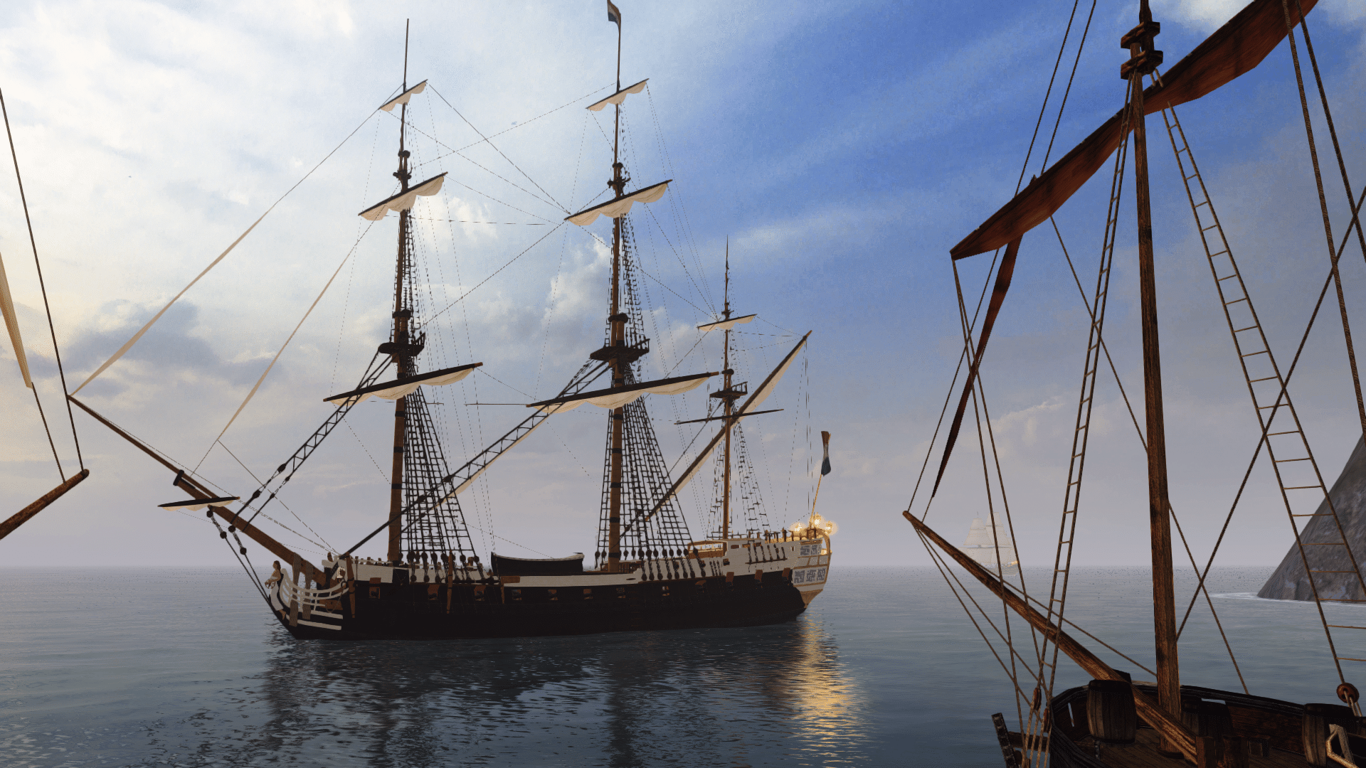
Whenever I sailed to a distant island, I'd determine the course I needed to sail on a map, then sail that course. If I could not sail the course directly because of wind direction, I'd do some dead reckoning for my actual position. I'm still doing the same thing in Vehicle Simulator, with much longer distances to travel, and while I have excellent navigation instruments and a GPS, I seldom use them when sailing anything but the most modern ships.

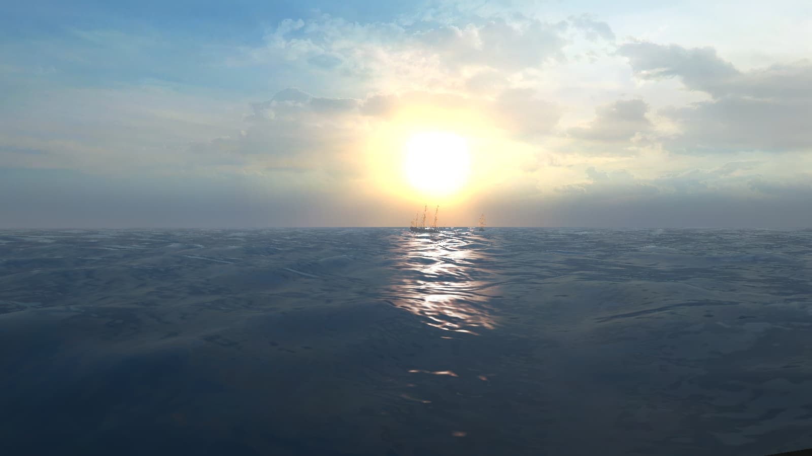
My longest dead reckoning sail in Vehicle Simulator was Maracaibo to Jamaica on a 1/4 scale map. No maps, no GPS, just a compass heading. About 120 miles of dead reckoning in 9.5 hours (in one play session), visibility was 15 miles. I kept the same compass course after I could see the island and landfall was not more than a couple of miles off. A three hour sail from Martinique to Barbados is somewhat more difficult sailing into the wind, but I've never missed the island. :)

I sailed to Jamaica in New Horizons Iron Man map scale a few times without problems using the same methods. Hook has max skills in Dead Reckoning. :)

Hook
 
If you know your position on the map using compass and sextant then I can't see why wouldn't you know your approximate coordinates from the island.Even without the sextant,when you set sail you should be able to track your position on the world map using compass and wind speed information,so I don't think that using console to determine you position from the island is a cheat at all.I like to think of it as a navigators job to do that calculations.
 
If you know your position on the map using compass and sextant then I can't see why wouldn't you know your approximate coordinates from the island.
Hmm... And the sextant+chronometer work regardless of visibility as well in the game.
Hadn't thought about it like that yet. Fair point.

Even without the sextant,when you set sail you should be able to track your position on the world map using compass and wind speed information,so I don't think that using console to determine you position from the island is a cheat at all.I like to think of it as a navigators job to do that calculations.
Good enough for me. ;)

Being a real life navigator myself, for me it's still slightly unrealistic.
But then, it is a game, and actual real life navigation skills just don't work in there.
Your idea sounds like the next best thing! :onya
 
What is the MINIMUM equipment you need to know your position on the map in real life?

A compass, hourglass and log line. (Actually, the log line requires a 2 minute glass as well.) And a record of what you've sailed. All low tech stuff.

Lindbergh flew the Atlantic with a compass and a clock, and flew a great circle route by turning a fixed amount south every hour. He had an instrument to measure wind drift as well.

If the fog is so bad you can't see that nearby island, it's too bad to take a celestial fix. Without an accurate chronometer it's guesswork anyway and chronometers didn't appear until fairly late in the period. A pendulum clock won't work on a ship that rolls and pitches.

Latitude is easy enough with a sextant, longitude requires an accurate time, compared to the noon mark measured with a sextant. Once upon a time you'd sail in about the direction you wanted to go and when you reached the proper latitude you turned east or west until you got to your destination.

It kind of bugged me in the Hornblower TV series when Hornblower gave a compass course to a quarter point, twice, at the beginning of a trip. The traverse board (google it) that was used to record direction and speed only had accuracy to half points and half knots.

Hook
 
What is the MINIMUM equipment you need to know your position on the map in real life?
@LarryHookins already expertly explained dead reckoning navigation and celestial navigation.

One additional thing with celestial: Using a "meridian passage" of, for example, the sun, you can very easily get your latitude.
The time of meridian passage would indicate your longitude, but indeed you need an accurate timepiece for that.
This has historically been very tricky and is the subject matter of this excellent TV mini-series: Longitude (TV Movie 2000) - IMDb

However, you can also get both latitude and longitude in a different way by measuring the height of multiple celestial bodies above the horizon.
You then compare that to what that height is supposed to be based on your current assumed (dead reckoning) position.
The difference will tell you your real position. This does work better if you have a more accurate timepiece, but is less reliant on it than with a meridian passage.

In addition to this, you can also do "coastal position fixing". For this, you need an (accurate) map,
an (accurate) method of measuring bearing (or distance) from an object ashore and, obviously, an object ashore.
Each observation yields a "line of position". You need at least two such lines for a position fix, but ideally should have three or more.
The less accuracy you have in your map and/or observations, the more lines of position you'll want to "average out" the errors.

When I was in nautical academy, I made Excel files to do these sort of calculations for me.
You can find those attached to this post, if you're really interested in playing around with this. :doff


In the end, all navigation works on "lines of position". The more you get, the better your position.
Such lines can be based on all sorts of stuff, from visual bearings, heights above the horizon measured with a sextant (works for celestial AND earth-bound objects), RADAR distances, etc.
Electronic systems work the same way. LORAN-C, for example, had very complex lines of position based on measurements from ground stations.
GPS does the same thing by measuring the distance to multiple satellites (this is calculated from the travel time from each satellite to you as observer).

Unfortunately. :shrug
But fortunately, there are more realistic alternatives: A LONG TRADITION OF NAUTICAL EDUCATION.
Doesn't get more realistic than that! ;)
 

Attachments

  • AstroNavigation.zip
    2.1 MB · Views: 263
  • TerrestrialNavigation.zip
    7.7 MB · Views: 269
Good explanation, Pieter. I wasn't aware of your "multiple celestial bodies" method which should be interesting to perform.

Coastal Position Fixing: I figure if you can make out known objects on shore you probably already know where you are. :) But you can make out peaks or prominences a long way out. Shoot an azimuth to two different landmarks, plot a back-azimuth in the other direction from those landmarks on a map, and where the lines intersect is where you are. You can do the same thing if you can see two different islands. If you can see three islands you can "eyeball" an approximate position.

A little more complicated is if you can see only one island or terrain feature in the distance. Shoot an azimuth, plot a back azimuth. Sail a while in the same direction and record the time. Do another azimuth. You now have a V shape with the point on your landmark. Calculate the distance sailed and determine that distance in the same scale as your map. Set a straightedge with this distance marked at your course angle on the map, and move it toward or away from the point of the V until each end crosses a line. It's not GPS accuracy but if you can see anything you probably don't need it.

An interesting variation on the above is a submarine determining the course, speed and position of a possible target using nothing more than a map and three sonar bearings. Get bearing one. Sail a fixed time. Get bearing two. Turn 90 degrees and sail the same fixed time. Get bearing three. It has been too many years since I've done this so I can't give more details, and it does rely on the target moving at a constant heading and speed. In Silent Hunter 3 I was able to locate then track a target, move to optimum attack position, fire torpedoes and hit the target using nothing but sonar bearings, never raising my periscope and never showing the target ship's position on the map. I used a "wizard wheel" (a circular slide rule based on actual devices used by sub commanders) and could determine intercept courses and such with it. I never used the targeting computer unless I could not get to the optimum attack position 600 meters off the target course and perpendicular to it.

Radio navigation in aircraft uses similar techniques. In Microsoft Flight Simulator X and Perpar3d I got to where I only used non-directional beacons for navigation and even had a modified instrument in my DC-3 to treat VORs as NDBs and with a dual-needle instrument I could "fly the beam" between two VORs by aligning the needles. In smaller aircraft I got to where I only used dead reckoning and real world charts. A couple of times I flew a great circle route between San Francisco and Hawaii in a Stratocruiser by starting on a calculated heading and turning two degrees every hour without having more than a very vague idea of the winds aloft, and arriving close enough to pick up a VOR signal each time. New York to Paris was a little more difficult with magnetic variation affecting the compass differently at different points, but I found Paris.

Hook
 
I wasn't aware of your "multiple celestial bodies" method which should be interesting to perform.
That is actually the main type of celestial navigation I was taught in school.
"Meridian passage" was barely covered at all. Which is kind-of weird, when you think about it... :confused:

Coastal Position Fixing: I figure if you can make out known objects on shore you probably already know where you are. :)
Depends on what you mean by "already know where you are", in other words: What do you accept for your position accuracy?
When you're clearly far away from land and you know there are shallows around, just seeing the objects may be good enough.
But close inshore with lots of shallows and rocks around, you'll really want to take position fixes to now exactly where you are.

But you can make out peaks or prominences a long way out. Shoot an azimuth to two different landmarks, plot a back-azimuth in the other direction from those landmarks on a map, and where the lines intersect is where you are. You can do the same thing if you can see two different islands. If you can see three islands you can "eyeball" an approximate position.
Yep, that's actually what I was getting at! "Peaks or prominences" are pretty much what I meant with "known objects".
Lighthouses work too, of course, but since they're much smaller, they don't work as well.
They do have one advantage though: They work in the dark, which mountain peaks don't! :cheeky

A little more complicated is if you can see only one island or terrain feature in the distance. Shoot an azimuth, plot a back azimuth. Sail a while in the same direction and record the time. Do another azimuth. You now have a V shape with the point on your landmark. Calculate the distance sailed and determine that distance in the same scale as your map. Set a straightedge with this distance marked at your course angle on the map, and move it toward or away from the point of the V until each end crosses a line. It's not GPS accuracy but if you can see anything you probably don't need it.
Ah, a "running fix", you mean? Good stuff, that! Indeed not very accurate, but if there's nothing else available, you use what you can get. :yes

An interesting variation on the above is a submarine determining the course, speed and position of a possible target using nothing more than a map and three sonar bearings. Get bearing one. Sail a fixed time. Get bearing two. Turn 90 degrees and sail the same fixed time. Get bearing three. It has been too many years since I've done this so I can't give more details, and it does rely on the target moving at a constant heading and speed. In Silent Hunter 3 I was able to locate then track a target, move to optimum attack position, fire torpedoes and hit the target using nothing but sonar bearings, never raising my periscope and never showing the target ship's position on the map. I used a "wizard wheel" (a circular slide rule based on actual devices used by sub commanders) and could determine intercept courses and such with it. I never used the targeting computer unless I could not get to the optimum attack position 600 meters off the target course and perpendicular to it.
I've never really thought about submarines as I'm more of a "merchant navy" kind of person.
But that does sound very similar to "manual plotting" which used to be necessary when using RADAR.
These days that is all automated with the Automatic RADAR Plotting Aid (ARPA), but we're still taught how to do it manually in school.
Good stuff!

Radio navigation in aircraft uses similar techniques. In Microsoft Flight Simulator X and Perpar3d I got to where I only used non-directional beacons for navigation and even had a modified instrument in my DC-3 to treat VORs as NDBs and with a dual-needle instrument I could "fly the beam" between two VORs by aligning the needles. In smaller aircraft I got to where I only used dead reckoning and real world charts. A couple of times I flew a great circle route between San Francisco and Hawaii in a Stratocruiser by starting on a calculated heading and turning two degrees every hour without having more than a very vague idea of the winds aloft, and arriving close enough to pick up a VOR signal each time. New York to Paris was a little more difficult with magnetic variation affecting the compass differently at different points, but I found Paris.
Wow, that's some proper navigational adventuring! I like it. :woot
 
How did they deal with magnetic variation in the days of sailing ships? Did they have charts of the entire oceans where they'd be sailing, or did they determine compass variation by comparing to the north star? Or however they did it in the southern hemisphere.

My worst experience with compass variation was the first time I landed at McMurdo Station in Antarctica. The compass was reading about 90 degrees off and I wasn't prepared for that. "... Why is the runway pointing THAT way??" At least I *found* the runway. :) I think at the time I was still using GPS navigation.

In the flight simulators I went from GPS direct, to GPS going VOR to VOR, to VOR and NDB combinations, to NDB, to dead reckoning and occasionally using some radio navigation aid after a long flight over an ocean. At some point I stopped using the in-game maps and GPS. In the sailing simulator I use dead reckoning for long distance trips and everything else when I'm close enough to see my destination anyway.

I have no idea of the proper names for the various navigation methods. I usually found out about them by accident when skimming some related topic.

I hadn't thought about the problems of shoals. I can imagine in parts of the Caribbean that would be critical. I solved that problem in Vehicle Simulator by writing a program to edit the depth data and basically dropped the sea floor. Otherwise there were areas where I simply couldn't ever go. I think for the most part what I ended up with was fairly accurate.

Hook
 
How did they deal with magnetic variation in the days of sailing ships? Did they have charts of the entire oceans where they'd be sailing, or did they determine compass variation by
Good question and I'm not entirely sure.
With the ships being wood, at least the deviation should be mostly negligible, but indeed in some areas of the world, variation can be substantial.
Thankfully I think it is mostly the worst the closer you get to the Poles, because of the difference between Magnetic and True North.
Since most sailing ships would not go to those areas, they'd mostly only be subjected to local magnetic anomalies.
I think they simply observed those when they ran into them and marked them on their charts.
I've actually seen those mentioned even on modern charts.

Assuming that they did have an almanac with celestial data, they might also be able to do an azimuth to check their compass error.
But that does require, as with most celestial navigation, an accurate timepiece, which of course didn't exist for many hundreds of years.

In the end, I believe historical navigators had to deal with huge amounts of uncertainty in their position.
Not the "several hundred metres" that is considered a lot these days, but dozens if not hundreds of nautical miles.
This would've made going on any long sea voyage really very dangerous and, probably for that reason, many ships never returned home.
It's incredible to believe that the seafarers of old persevered all the same and actually managed to pull it off more often than not!

Last year, I met a writer named Dick Huges who has studied old-school methods of navigation and ship-handling.
I'm very interested to pick up some of his books one day, but unfortunately they all seem to be in Dutch.
Not a problem for me, but I can imagine it would be a bit of a challenge for you...

In the flight simulators I went from GPS direct, to GPS going VOR to VOR, to VOR and NDB combinations, to NDB, to dead reckoning and occasionally using some radio navigation aid after a long flight over an ocean. At some point I stopped using the in-game maps and GPS. In the sailing simulator I use dead reckoning for long distance trips and everything else when I'm close enough to see my destination anyway.
I'm not familiar with any of those abbreviations there; except for GPS, of course.
Are those airplane navigation methods?

I have no idea of the proper names for the various navigation methods. I usually found out about them by accident when skimming some related topic.
Well, clearly you managed to learn quite a lot about it all the same!
Knowing the names is less important than knowing to apply it and explain it.
I'm not sure I always know all of the names myself either...

I hadn't thought about the problems of shoals. I can imagine in parts of the Caribbean that would be critical.
True. For example, that song-inducing (Feliz) Navidad bank!
There are a lot of shallows, especially also between Cuba and the Bahamas.

And unbelievably, some of the CURRENT nautical charts in use at sea are still partly based on surveys conducted by Captain Cook back in the 18th Century.
Seriously, I'm not making this up; I've literally navigated on those charts with a cruise ship with 2000 people on board!

I solved that problem in Vehicle Simulator by writing a program to edit the depth data and basically dropped the sea floor. Otherwise there were areas where I simply couldn't ever go. I think for the most part what I ended up with was fairly accurate.
Didn't you have accurate maps available?
 
Ok, it's best to google this, but the VOR is directional. You have an instrument with a needle that you set for a direction, and a second parallel needle tells you how far off to either side you are of your intended course. NDB is non directional beacon, like an AM radio station. You have an instrument with a needle that points toward it.

Accurate maps of a virtual Caribbean? :D In Virtual Sailor? :D :D Thanks, you made my day. :)

Ok, I suspect the guy who made the Caribbean scenery messed up the depth. Something like the data he had was in meters and his conversion program interpreted it as feet. VSF displays depth in meters, but it's not color coded like a standard nautical chart for hazardous depths. After my conversion of the original map several places I checked matched real world charts fairly well. If I remember right I basically multiplied the depth by 3 with a few other adjustments if near land, but it wasn't quite that simple.

Hook
 
Ok, it's best to google this, but the VOR is directional. You have an instrument with a needle that you set for a direction, and a second parallel needle tells you how far off to either side you are of your intended course.
Just looked it up: Very High Frequency (VHF) Omni-Directional Range (VOR)
This sounds very similar to the "radio direction finder" that the Zuiderdam was once equipped with, but which I never saw in operation.
Still, I can imagine how it would work and it's actually pretty cool!

NDB is non directional beacon, like an AM radio station. You have an instrument with a needle that points toward it.
Hmm, I had a quick look at Non-directional beacon - Wikipedia but I'm not 100% clear on it yet.
It says it also has its uses in shipping, but it sounds like something different from LORAN-C, which was pretty much an old-fashioned earth-based GPS (I think it was discontinued a few years ago).
Maybe THIS is the "radio direction finder" then?

Accurate maps of a virtual Caribbean? :D In Virtual Sailor? :D :D Thanks, you made my day. :)
Always happy to be of service! :doff

Ok, I suspect the guy who made the Caribbean scenery messed up the depth. Something like the data he had was in meters and his conversion program interpreted it as feet. VSF displays depth in meters, but it's not color coded like a standard nautical chart for hazardous depths. After my conversion of the original map several places I checked matched real world charts fairly well. If I remember right I basically multiplied the depth by 3 with a few other adjustments if near land, but it wasn't quite that simple.
That sounds like it doesn't help. o_O

Oh well, at least I can tell you that safety depths in modern Electronic Chart Display and Information Systems (ECDIS) are also an epic story.
Amongst others, it once allowed me to convince a cadet officer who was on watch with me that the cruiseship in front of us was going to run aground within the next five minutes! :rofl
 
Back
Top