Alright folks,
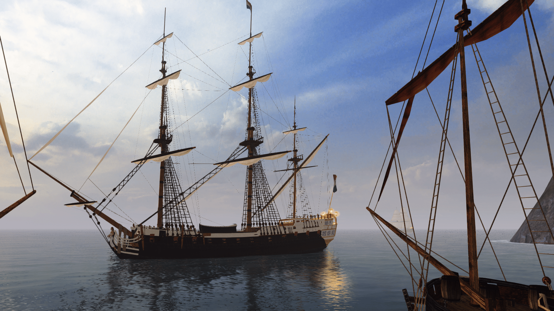
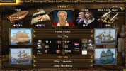
time for some testing. For this purpose I bought myself a brand new Bermuda Sloop. A superb ship for my undertaking, since it can sail very high against the wind, which pretty much eliminates any necessity to stray away in any meaningful way from my ideal course, when doing my test runs. This way I just need to concern myself with with the matters of speed and time. The only imaginable hassle could be enemy ships, but most the time I should be able to out-sail them comfortably. Especially since I do these runs with just the necessary cargo and nothing else.
My methodical approach will be the following: The time from me standing at the port of my starting destination, right before embarking my ship and the time arriving and standing at the port of my arrival destination will be the two points defined as start and finish. This is where the date and time are written down. On sea I will always sail the course that I deem ideal to reach my goal asap. I will not concern myself with leaving my course for any other reason than avoiding harm to my vessel and avoiding counter-wind. Even though the latter will rarely apply (if at all) in a Bermuda Sloop, since angling the wind is very easy and efficiently possible in this type of ship.
Also, on sea I will write down the current speed whenever the bell rings for xx:30. This seems to be the best point in time to do so, because the bell will make it easier for me not to miss the reading. Also by xx.30 I will have made whatever adjustments to my course I desire and will have most likely gained the new top speed on this course.
And already I can present the first test run. A humble trip from Phillippsburg, St. Martin to Charlestown, Nevis.
I embarked on the 14th of May, 1750, at 15:32. The wind was 12 knots from WNW.
I arrived and disembarked at Charlestown, Nevis on the 15th of May, 1750, 07:57. The wind at this time was 13 knots from NNW.
So it just took me slightly more than two thirds of a day to make this trip. At no point was the wind really strong. I had 16 readings of my current speed at the time. The highest being 5,5 knots and the average traveling speed being 3,94375 knots (total knots measured/number of readings).
The distance from Phillipburg to Charlestown in reality is 108 kilometers (straight line), with the adjustments necessary due to landmass in between we would probably end up with a travel distance between 115 and 120 kilometers for a ship. Note however, that both islands (Nevis and St. Martin) look vastly different in reality, in shape and dimension, than their counterparts in the game. This can play a role if there is a considerable stretch of landmass getting in the way of you and your goal, that either wouldn't be or would have to be there in reality. However, this is not really the case here to any meaningful degree.
1 knot is 1,85 kilometers per hour. My average speed of 3,94375 knots x 1,85 (to get the km/h) x 16 for number of readings and therefore more or less the travel time in hours (slightly less in this case).
So 3,94375 x 1,85 x 16 = 116,735 km distance covered in 16 hours. Which is remarkably consistent with the travel distance I assumed for this trip (roundabout 115 to 120 kilometers) based upon the realistic data.
So quite the opposite from my Cayman → Aruba run, which was definitely way off. And I find that already to be an interesting piece of comparison. How can the in-game time be so accurate and consistent with my in-game speed and the real life data in this case, while it is definitely so horribly off in my other trip (and it wasn't the first one, where I clearly felt that was the case)?
And though I have to do definitely more testing to elaborate on this, I already have one suspicion of where the problem could lie. If I am not mistaken, the trips where the game blatantly is inconsistent with what would be realistic, are the longer ones. But sure enough: If the game can handle speed and time so closely to real life, as it did in my first (although short-distance) test run, why would it do it so much worse on a longer trip? After all it does the same thing in both cases. It just has to do it a bit more on a longer trip. However, there is one more difference. Longer trips are typically the ones were one would have to cross open sea. But technically the game doesn't know no such thing as “open sea”. Regardless of where you are, the game treats every on sea location as “waters of” the island you either were last on or sailed close by the last. So technically you can have covered two thirds of the distance between Cayman and Aruba, meaning that you are effectively amidst the Caribbean sea …. and the game would still locate you in the waters of the Cayman Isles.
I just have to wonder if this circumstance and lack of actual open sea doesn't do weird things to localization.
Anyway – more testing will be done (also some longer trips over “open sea”), as I go on with my game.


